How to Create a Geo-Located SketchUp Model
In architectural design, urban planning, and landscape design, geo-located SketchUp models hold significant importance. They not only help designers visually present a project's environmental context but also provide greater accuracy and functionality in practical applications. This article will guide you through the process of creating a geo-located model in SketchUp.
What is a Geo-Located Model?
A geo-located model refers to a model accurately placed in SketchUp based on real-world geographic coordinates. Such a model can integrate with the actual terrain, buildings, and other environmental elements, making the design more practical. By geo-locating, designers can better analyze the effects of sunlight, wind direction, and surrounding environments on buildings, leading to more informed design decisions.
Geo-Location Features in SketchUp
In SketchUp, the main geo-location features include obtaining geographic location, adding terrain, and setting the model's elevation. Mastering these features can help you create models that accurately reflect real-world conditions.
Obtaining Geographic Location
The first step in creating a geo-located model in SketchUp is to obtain the geographic location. By obtaining the geographic location, SketchUp will automatically generate terrain and environmental information.
1. Open SketchUp and click on the “File” menu.
2. Select “Geo-location” and then click on “Add Location.”
3. In the pop-up window, enter the address you want to locate and click the “Search” button.
4. After confirming the location, click “Select Region” and adjust the selection box to choose the geographic area you need.
5. Click “Import,” and SketchUp will import the geographic area along with the terrain data.
The acquired geographic location will be displayed in the SketchUp workspace, allowing you to base your designs on this foundation.
Adding Terrain
After geo-locating, SketchUp will automatically generate a terrain map, but sometimes you may need to adjust it or add more detailed terrain information.
- After obtaining the geographic location, you can use the Push/Pull Tool to modify the terrain and create additional details.
- By selecting the “Terrain” layer and using the Drawing Tool, you can add natural elements such as hills and rivers to enhance the realism of your model.
Setting Model Height
Setting the model's height is also crucial in SketchUp. To ensure the model's coherence with the surrounding environment, designers need to adjust the model's height accurately.
- After drawing the basic model, you can use the Tape Measure Tool to verify the height of the building.
- Input specific values to adjust the model's height, ensuring it corresponds with the actual geographic location.
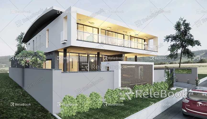
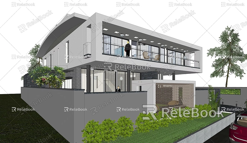
Practical Case: Creating a Geo-Located Building Model
Next, we will demonstrate how to create a geo-located building model in SketchUp through a practical case.
Step 1: Obtain Geographic Location
First, follow the earlier steps to obtain the geographic location of your city. For example, if we choose a specific location in the city center for a new building, ensure the terrain has fully loaded after obtaining the location.
Step 2: Draw the Basic Shape of the Building
Use the Rectangle Tool to draw the basic shape of the building, establishing the outline of the exterior walls. Make sure to design according to the proportions of the actual geographic location and surrounding buildings.
Step 3: Push/Pull to Form
Use the Push/Pull Tool to elevate the basic shape into the building's main body. Adjust the height and shape as needed based on the design requirements. At this point, you can preview the building's position on the terrain in SketchUp to ensure it harmonizes with the surrounding environment.
Step 4: Add Details and Decorations
After completing the building model, you can add details like windows, doors, and balconies. Use the Drawing Tool to create additional detail elements, then apply different materials to enrich the model.
Step 5: Adjust and Optimize
Once the model is complete, review it to check whether the building's position, shape, and height are reasonable. Use the Tape Measure Tool for detailed checks to ensure the building harmonizes with the surrounding environment.
Step 6: Save and Share
Finally, don't forget to save your work. You can choose the “Export” feature to save the model in various formats, making it easy to share or print on other platforms.
Frequently Asked Questions
When creating geo-located SketchUp models, users may encounter some issues. Here are some common questions and answers.
Why does it show an error when obtaining the geographic location?
Sometimes, obtaining the geographic location may result in an error due to network issues or incorrect address input. Ensure your internet connection is stable and double-check the address spelling.
What if the terrain data is inaccurate?
If the imported terrain data is inaccurate, try re-obtaining the geographic location or manually adjusting the terrain. SketchUp allows users to modify the terrain using the Push/Pull Tool to meet specific design needs.
How can I share my geo-located model?
In SketchUp, models can be saved in various formats using the export feature. You can save it as .dae, .fbx, or .stl formats for easy sharing with others.
Creating a geo-located SketchUp model is not a difficult task. By obtaining geographic location, adding terrain, and setting the model's height, you can easily create a 3D model that reflects the actual environment in SketchUp. This is very important for fields such as architectural design and urban planning.
I hope this article helps you better understand how to create a geo-located SketchUp model, making your designs more practical and accurate. If you need high-quality 3D textures and HDRI for creating models and virtual scenes, you can download them for free from [Relebook](https://textures.relebook.com/). If you need exquisite 3D models, you can download them from [Relebook](https://3dmodels.relebook.com/), which offers a wealth of high-quality 3D resources.