How to make 3d model of plate boundaries
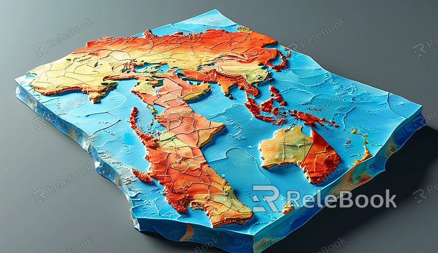
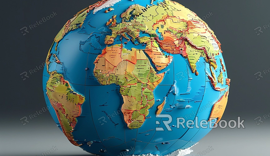
In geology and earth sciences, plate boundaries are crucial for studying Earth's surface movements and seismic activity. Creating a 3D model of plate boundaries not only helps visualize geological data but also provides an intuitive demonstration for education and scientific research. This guide will explain how to use 3D modeling tools like Blender to create a 3D model of plate boundaries.
Determine the Base Data for the Model
The first step in creating a 3D model of plate boundaries is to obtain the base data. This data typically includes boundary lines of the plates, active regions, and relevant geological information. You can obtain this data from geological surveys or open data platforms. During the data preparation phase, consider the following points:
1. Data Format: Ensure that the data format is compatible with 3D modeling software. Common data formats include GeoJSON, KML, or CSV.
2. Data Accuracy: Choose reliable data sources to ensure the accuracy of the model. Data published by geological surveys and research institutions is usually authoritative.

Import Data into 3D Modeling Software
After obtaining the data, the next step is to import it into a 3D modeling software. For example, when using Blender for modeling, follow these steps:
1. Convert Data Format: If the data format is incompatible, use conversion tools to change it to a format supported by Blender. For example, convert CSV files to OBJ files.
2. Import Data: In Blender, go to File > Import, and select the appropriate file format for import. After importing, check to ensure the data is correctly loaded into the model.
Create the Plate Boundaries Model
To create the plate boundaries model in Blender, follow these steps:
1. Create Basic Geometry: Start by creating a basic geometry as the foundation of the model. Typically, a plane or mesh can represent the surface of the plate boundaries.
2. Draw Boundary Lines: Use drawing tools or curve tools in edit mode to outline the boundary lines of the plate boundaries on the base geometry. Ensure the shape and position of the boundary lines match the actual data.
3. Add Height Information: Plate boundaries often have varying elevations. Use Sculpting tools or Modifiers to adjust the model’s height to match the actual geological data.
4. Refine the Model: Add additional details and features as needed. For instance, include fault lines, mountain ranges, or trenches to enhance the model’s realism.
Apply Materials and Textures

Apply appropriate materials and textures to improve the visual effect and realism:
1. Create Materials: In Blender, create new materials for the model. You can set different material properties, such as color and roughness, for different regions of the plate boundaries.
2. Import Textures: Import geological texture images into the materials. These textures help simulate the real appearance of the Earth's surface. Connect texture nodes to the material’s Base Color input.
3. Adjust Texture Mapping: In the UV Editing workspace, adjust the texture mapping to ensure that the texture displays accurately on the model.
Render and Present the Model
Once the model and materials are set, render to generate the final visual effect:
1. Set Up Lighting and Camera: Configure the lighting and camera positions in Blender to achieve the best render results. Use various light types, such as point lights or spotlights, to highlight the model’s details.
2. Choose Render Engine: Select an appropriate render engine, such as Cycles or Eevee, to produce high-quality render images. Adjust render settings like sampling rate and resolution to enhance the render effect.
3. Render the Model: Click the Render button to generate the final render image or animation. Review the render to ensure that the model’s details and appearance meet expectations.
Creating a 3D model of plate boundaries can deepen your understanding of geological processes and plate movements. If you need high-quality 3D textures, HDRIs, or downloadable 3D models for your projects, you can download them from Relebook. Importing these textures and models directly into your project can enhance your work’s quality and realism, making your plate boundary models more vivid and informative.

